VBOX 3i ADAS
Outstanding positional accuracy and flexible test configurations exclusively for ADAS testing
Multi-constellation and dual frequency 100 Hz GNSS RTK receiver
Combines IMU and wheel-speed data to maintain accuracy
Resilient RTK for reliable test-track and open road testing
Intuitive set-up software for complex ADAS scenarios
Free lifetime customer support
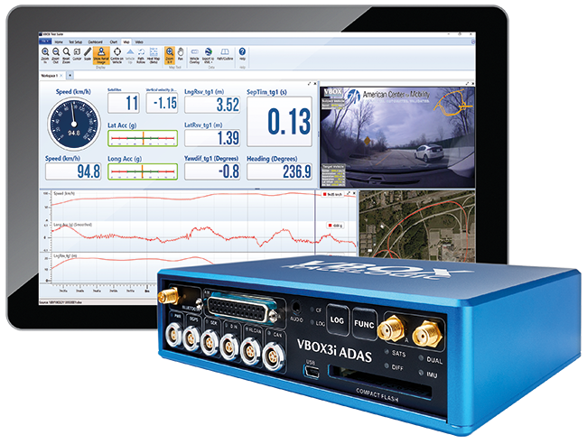
ADAS Testing Just Got Easier
Dedicated ADAS testing
Building on the key features that made VBOX 3i the industry standard data logger for automotive testing and validation, VBOX 3i ADAS has taken the evolution of this family of data loggers and created a whole new species dedicated to ADAS testing.
Outstanding Accuracy
The VBOX 3i ADAS GNSS receiver, which is multi-constellation and dual frequency, delivers outstanding RTK signal reacquisition and resilience, ensuring you spend more time logging RTK accurate data on both the test track and the open road.
Easy Set-up
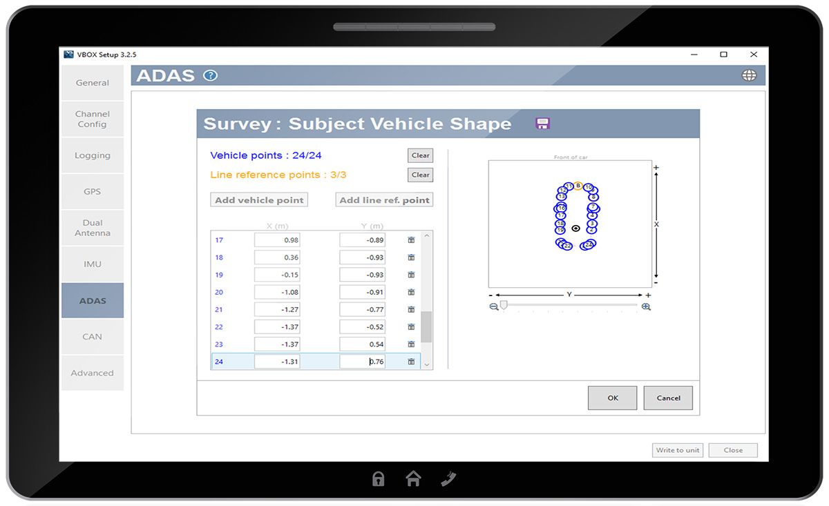
You can fully customise ADAS test setups, with the vehicle under test able to simultaneously reference any combination of up to five moving and static targets, three road-line references and 99 signposts. Tests requiring multi-target and multi-lanes can be easily configured to validate ADAS systems.

NCAP-compliant
The VBOX 3i ADAS offers Euro NCAP-compliant logging rates (100 Hz) and a positional accuracy of less than 2 cm, when used with an RTK Base Station or NTRIP device.

Resilient RTK Acquisition
The latest RTK, multi-constellation GNSS receiver delivers centimetre-level accuracy with robust signal reliability even in challenging GNSS environments.

IMU data integration
VBOX 3i ADAS has the ability to utilise data from a VBOX IMU and uses a Kalman Filter to improve all parameters measured in real-time at 100 Hz.

Real-time testing
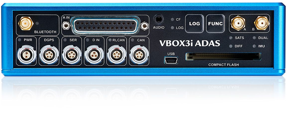
Connect to a laptop or tablet via USB, Bluetooth or Serial for real-time display and analysis of test data in the field.

CAN bus logging
Log up to 32 channels directly from the vehicle’s CAN bus.

Dedicated ADAS Testing
Evaluate the full range of ADAS scenarios with customisable parameters and intuitive data analysis in VBOX Test Suite software.
Intuitive Setup Software for Complex ADAS Scenarios
The test configuration process has been significantly improved, with all configurations and file management now conducted in VBOX Setup (instead of VBOX Manager).
Smart illustrations, active guidance and instantaneous feedback give you the ability to see your configuration as it comes together and easily make corrections if necessary.
RTK Positioning Correction Service
We offer flexible options to access the Topnet Live GNSS Positioning Correction Service within Europe with the purchase of any RTK enabled VBOX test solution.
Test in areas with poor satellite coverage
VBOX 3i ADAS offers IMU integration, which means you can reliably test in areas with limited or no satellite coverage, such as tunnels, deep urban canyons and test tracks with heavy tree lining.
The VBOX 3i ADAS's GNSS receiver provides highly accurate measurements of position, velocity and distance in areas with a clear view of the sky. However, as you start to lose visibility of the satellites in built-up or obscured areas, the accuracy of the data typically starts to drift.
By combining wheel speed data from the vehicle's CAN bus with GNSS and Inertial data from a VBOX IMU, the VBOX 3i ADAS can maintain the accuracy of the estimated speed and position, even when you lose satellite signal.
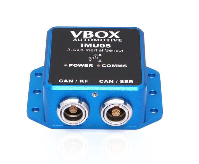
The new IMU05
Data integration from the IMU05 is especially helpful when GNSS signal reception of the VBOX 3i (V5) is interrupted or weakened. In such cases, the VBOX 3i can still provide accurate information about position, velocity, and body angles, ensuring reliable data even when satellite signal reception is compromised.
| IMU05 | IMU05-S | |
|---|---|---|
Pitch & Roll Angle | 0.03° | 0.02° |
Yaw Angle | 0.15° | <0.1° |
Stability | 1.2°/h | 0.8°/h |
The IMU05's precise measurements of roll, pitch, and yaw rate are obtained through three high-precision gyroscopes with an industry-leading bias stability of 1.2 degrees per hour. For those who need more precision, we offer the S model, IMU05-S, which utilizes MEMS high-precision gyroscopes with an even lower bias stability of 0.8 degrees per hour.
Which applications can you test with VBOX 3i ADAS?
You can validate the accuracy of almost any Advanced Driver Assistance System using a VBOX 3i ADAS, including Adaptive Cruise Control, Blind Spot Detection, Park Assist, AEB, Lane Keep Assist and Dooring. VBOX 3i ADAS provides Euro NCAP-compliant logging rates (100 Hz) and highly accurate measurements of position, speed, attitude, separation distance and time-to-collision data from multiple vehicles.
Add-ons and Accessories
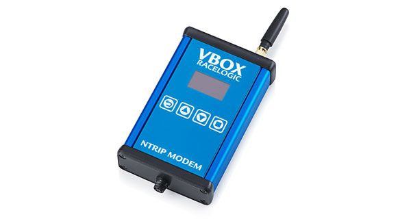
NTRIP Modem
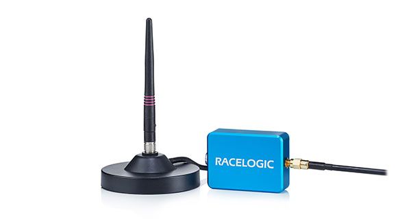
2.4 GHz Radios
RACELOGIC ADAS radios for V2V communication, giving relative longitudinal and lateral distances to cm accuracy.
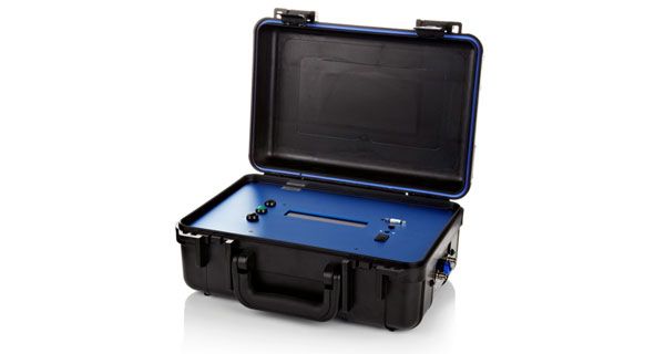
DGNSS Base Station
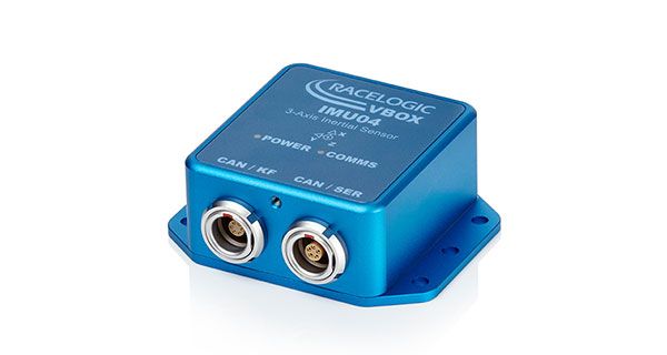
Inertial Measurement Unit
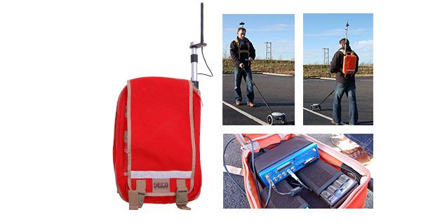
Survey Trolley Kit
Straight or curved lane markings can be mapped out and plotted to cm-level accuracy when using this survey trolley kit alongside your VBOX 3i ADAS and RTK correction system. The survey trolley comes with a line mapping rover wheel, a custom rucksack, a radio antenna and a battery pack.
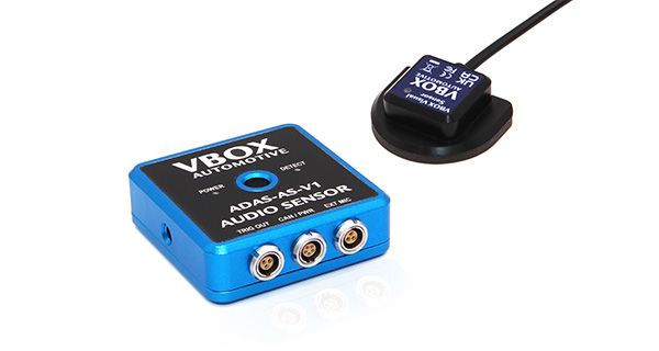
ADAS Sensor Pack
A set of audio and visual sensors designed specifically to test the required elements of Euro NCAP scenarios.
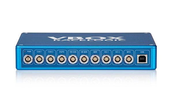
VBOX CAN Hub
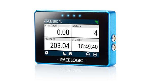
Multi-Function Touch Display
Technical Specifications
Velocity
- Accuracy
- 0.03 m/s
- Update rate
- 100 Hz
- Resolution
- 0.01 km/h
- Latency
- Fixed CAN delay, no IMU integration: 15.5 ms
- Fixed CAN delay, with IMU integration: 20 ms
Absolute Positioning (RMS)
- Accuracy with RTK
- V: 1 cm + 1 ppm; H: 0.6 cm + 0.5 ppm *
- Accuracy with DGPS
- V: 0.7 m; H: 0.4 m*
- Accuracy with SBAS
- V: 0.8 m; H: 0.6 m*
- Accuracy (Standalone)
- V: 1.9 m; H: 1.2 m*
- Update rate
- 100 Hz
- Resolution
- 1.8 mm
*Specifications will vary depending on the number of satellites used, obstructions, satellite geometry (PDOP), multipath effects, and atmospheric conditions. For maximum system accuracy, always follow best practices for GNSS data collection.
Distance
- Accuracy
- 0.05 % (<50 cm per km)
- Update rate
- 100 Hz
- Resolution
- 1 cm
Heading
- Accuracy
- 0.1°
- Resolution
- 0.01°
How does it work

GPS Accuracy

Increased Accuracy with RTK

Accuracy in Any Location
How do you maintain data accuracy in locations where GNSS signals might get obstructed, such as driving through a tunnel?

